Sales Brochure
PROPERTY INFORMATION
Location:
0
North Main Street,
Holly Springs
N.C.
approximately 1.5 miles south of
Sunset Lake Rd.
on left. Property is within City Limits of Holly Springs. Reference is
made to Exhibit A for a map showing the approximate location of the
Property.
Land Area:
1.55 acres consisting of
two parcels. 1.02 acres
PIN#0649876251
and .53 acres
PIN#
0649874214. See Exhibit B.
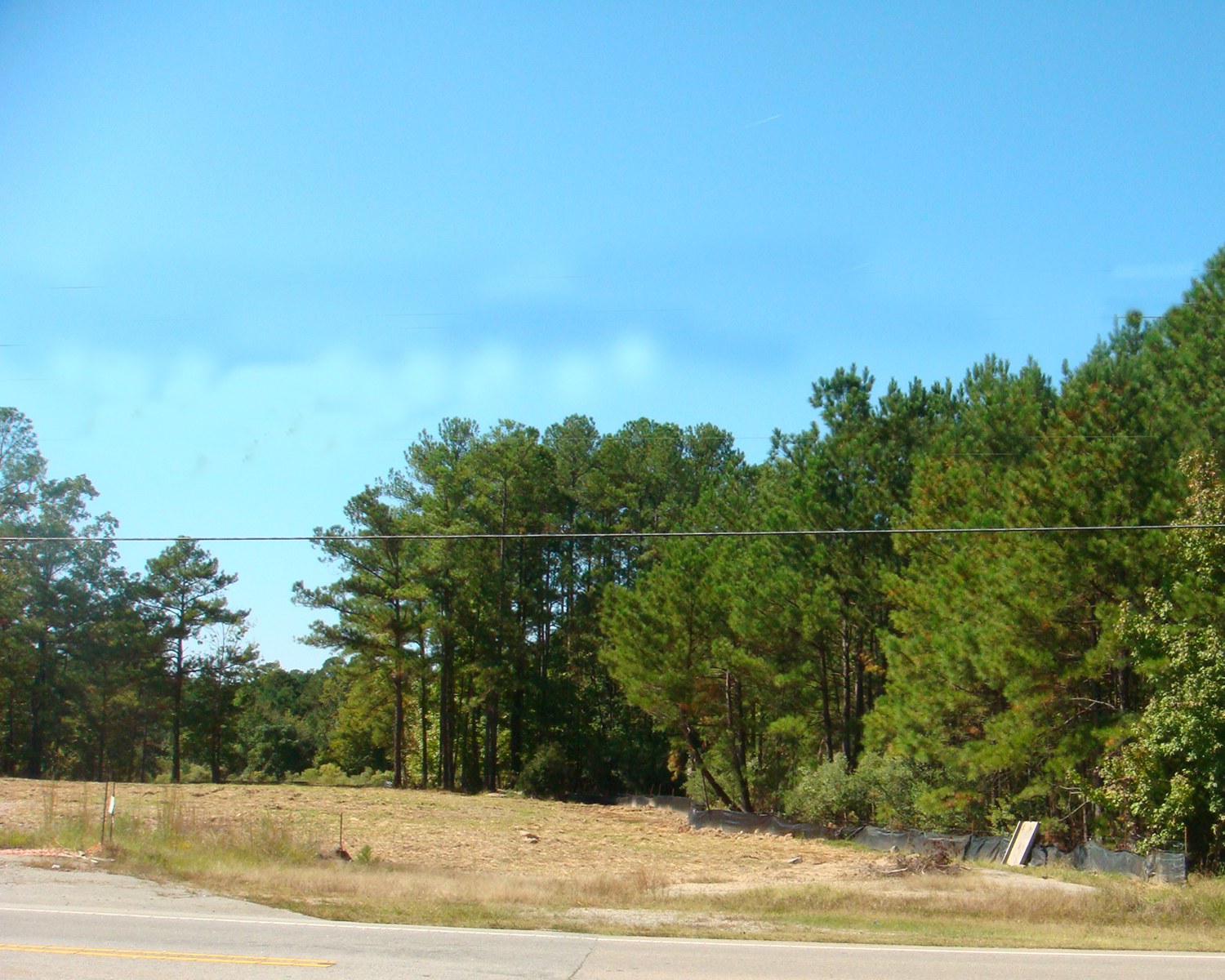
Topography:
The Property is grade level
along
Main St.
and generally on
grade level through out the property with a slight drop off at
the very rear of the site.
See Exhibit C.
Frontage:
140 feet
road frontage on
Main Street
Area
Development:
Subject property is in a
general business. Other businesses include: Just Tires, Security Self
Storage, Dominos Pizza, Sonic, and Food Lion. The Town Holly
Springs
has designated this area as a Community Growth center.
Community
Growth Areas Defined
Main
Street
and
Ballentine Street
is defined as the heart of Town or the “Village District” core. This
CGA is
one mile in diameter and would constitute a 25 minute walk from the
outer areas to the community core. The community core is defined as half
the size of the
CGA.
This is the traditional downtown area that will house most of the civic
functions for the Town. Within this
area
Town Hall,
Police Station, and Library and
Cultural
Center
already have been established as those civic functions and a future
Community Center should be located within the traditional core of
downtown as well to further define the civic importance of this area.
Other land uses within the
Main Street
and
Ballentine Street
area should be a mix of uses including high intensity business,
commercial, and high density residential that will expand on the already
built environment that will serve as the “Heart” of the Town. The
mixture of uses within the core area should follow the following
percentage as a guide for development within this area. The business and
commercial uses should constitute a minimum of sixty - five (65) percent
of the core area. The remaining thirty-five (35) percent will be
residential. In October 2005, The Village District Area Plan was adopted
for this area of Town and has been subsequently updated in 2007 and
2009. This plan addresses land uses and transportation elements for the
area from
Maple Street
on the south to
Third Street
to the north. This plan is included as a part of Appendix 2 in this
Plan.
Zoning:
The property is Zoned Local Business.
The LB Districts are
established to promote a village oriented, pedestrian friendly
environment for the provision of a full range of convenience goods and
services, which are necessary to meet the
daily needs of nearby residential neighborhoods and to promote
dwelling units located in the upper
stories of mixed use buildings. Permitted uses within the LB
Districts are regulated in
character to assure harmonious development with the nearby residential
districts served and are limited in size and scale to promote pedestrian
access.
Uses include but are not limited to:
Automotive Sales & Service, Clothing Service, Educational Uses,
Food Sales and Service, Restaurant, Bed
& Breakfast, Clinic – medical, dental or optometrists,
Free Standing; Bank / Savings &
Loan, and more. Please see
the Holly Springs UDO for more
detail.
Utilities:
An 8” Sanitary Sewer Easement runs along
N. Main Street
on the eastern side of the Property.
A 16" municipal water line runs along
N. Main Street
at the location. There is
also a 6” water line which runs down the north side of the property.
The Public Service Company of
North Carolina
has a gas main in place along
Main Street.
Electricity and telephone service are available.
Improvements:
None
Tax Reference
Map:
Wake County
Tax Map: 64902,
REID: 60328 & 60327,
PIN#'s: 64874214 & 649876251.
Tax Value:
$355,448
Price:
$330,000
Terms:
The owner is willing to
accept this price subject to closing considerations.
Contact listing agent for details.
|